DBAR Convenes “Digital Belt and Road: Big Earth Data Serving Sustainable Development” Forum
From November 19 to 21, 2018, the 1st United Nations World Geospatial Information Congress was organized in Deqing County, Zhejiang Province. The conference, sponsored by the United Nations and co-hosted by the Ministry of Natural Resources of the People’s Republic of China and the Zhejiang Provincial People’s Government, is one of the prominent UN conferences in China in the field of geographic information. The Conference also feauterd the “Digital Belt and Road: Big Earth Data Serving Sustainable Development” sesion hosted by the DBAR .
With the special support of the CASEarth program, the session aimed to promote understanding, and application of big Earth data towards scientific and technological cooperation in the field of space information among countries and regions along the Belt and Road, and address the development challenges faced by countries, regions and even the whole world, so as to make due contributions to the implementation of the UN’s 2030 Sustainable Development Agenda.
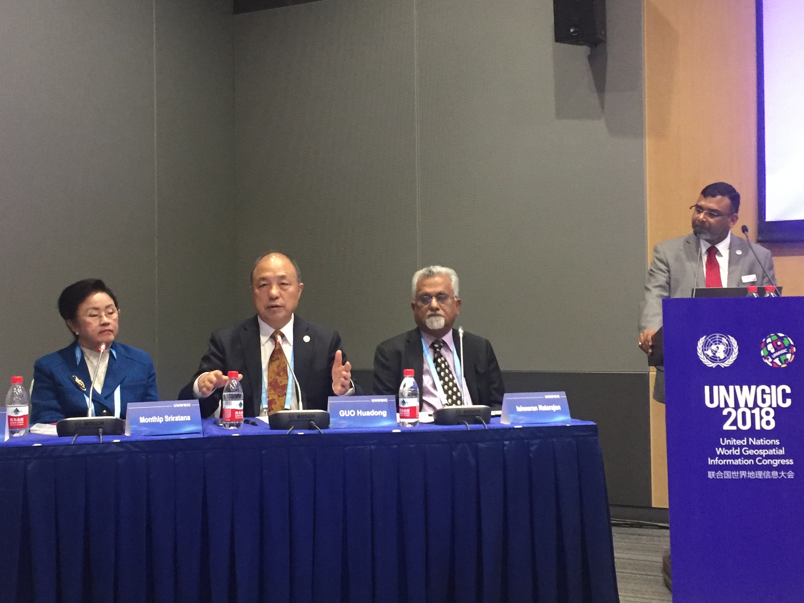
The session featured two programs: keynote speeches and an expert Panel Discussion. Academician GUO Huadong in his keynote speech titled “Building Digital Belt and Road,” explained the purpose, objectives, and research framework of DBAR and introduced the technical framework for the implementation of the UN’s Sustainable Development Goals (SDGs) aided by big Earth data to solve challenges such as food security, environmental change, disaster risk, coastal zone, and urbanization. He highlighted the challenges in implementation of the SDGs and stressed that only by strengthening scientific and technological innovation and cooperation in countries and regions along the Belt and Road, by sharing data, experience, and knowledge, and enhancing the ability of countries to utilize big Earth data, can we overcome the goal of “building a safer, better world without leaving anyone behind.”
Dr. Daniele Ehrlich of the EU’s Joint Research Centre (JRC), Dr. Zaffar Sdiq Mohamed-Ghouse, director of the Australian Institute of Surveying and Mapping and Space Science, and Dr. Monthip Sriratana, director of DBAR ICoE-Bangkok, also gave keynote addresses, titled the Current and Future International Cooperation for SDGs — Taking DBAR Urbanization as an Example, Public-Private Partnership for Sustainable Development, and DBAR ICoE-Bangkok: Building an International Cooperation Network, respectively. Experts agreed that the collaborative work among countries along the Belt and Road, the core idea of the Belt and Road Initiative (BRI), is essential to DBAR's progress in different stages. The BRI cooperation network developed based on the big Earth data platform will strengthen infrastructure construction, promote data sharing, boost the development of advanced technologies, and form a new paradigm of scientific research.
At the workshop, seven international experts held an in-depth discussions on issues such as DBAR Agenda for SDGs, DBAR’s International Cooperation Concept, DBAR’s Capacity Building, and Core Technologies of Big Earth Data for Realizing SDGs. Experts at the meeting agreed that the core of the SDG-17 is cooperation. DBAR serves as a bond between countries, regions, and international organizations along the Belt and Road to set up a cooperative platform for the BRI development. As an innovative technology, big Earth data is an important means to monitor the implementation of the SDGs along the Belt and Road. Under the framework of DBAR, it is expected to achieve an effective evaluation of the 2nd, 6th, 9th, 11th, 13th, 14th, and 15th SDGs and launch practical replicable demonstration projects.
With the special support of the CASEarth program, the session aimed to promote understanding, and application of big Earth data towards scientific and technological cooperation in the field of space information among countries and regions along the Belt and Road, and address the development challenges faced by countries, regions and even the whole world, so as to make due contributions to the implementation of the UN’s 2030 Sustainable Development Agenda.
The session featured two programs: keynote speeches and an expert Panel Discussion. Academician GUO Huadong in his keynote speech titled “Building Digital Belt and Road,” explained the purpose, objectives, and research framework of DBAR and introduced the technical framework for the implementation of the UN’s Sustainable Development Goals (SDGs) aided by big Earth data to solve challenges such as food security, environmental change, disaster risk, coastal zone, and urbanization. He highlighted the challenges in implementation of the SDGs and stressed that only by strengthening scientific and technological innovation and cooperation in countries and regions along the Belt and Road, by sharing data, experience, and knowledge, and enhancing the ability of countries to utilize big Earth data, can we overcome the goal of “building a safer, better world without leaving anyone behind.”
Dr. Daniele Ehrlich of the EU’s Joint Research Centre (JRC), Dr. Zaffar Sdiq Mohamed-Ghouse, director of the Australian Institute of Surveying and Mapping and Space Science, and Dr. Monthip Sriratana, director of DBAR ICoE-Bangkok, also gave keynote addresses, titled the Current and Future International Cooperation for SDGs — Taking DBAR Urbanization as an Example, Public-Private Partnership for Sustainable Development, and DBAR ICoE-Bangkok: Building an International Cooperation Network, respectively. Experts agreed that the collaborative work among countries along the Belt and Road, the core idea of the Belt and Road Initiative (BRI), is essential to DBAR's progress in different stages. The BRI cooperation network developed based on the big Earth data platform will strengthen infrastructure construction, promote data sharing, boost the development of advanced technologies, and form a new paradigm of scientific research.
At the workshop, seven international experts held an in-depth discussions on issues such as DBAR Agenda for SDGs, DBAR’s International Cooperation Concept, DBAR’s Capacity Building, and Core Technologies of Big Earth Data for Realizing SDGs. Experts at the meeting agreed that the core of the SDG-17 is cooperation. DBAR serves as a bond between countries, regions, and international organizations along the Belt and Road to set up a cooperative platform for the BRI development. As an innovative technology, big Earth data is an important means to monitor the implementation of the SDGs along the Belt and Road. Under the framework of DBAR, it is expected to achieve an effective evaluation of the 2nd, 6th, 9th, 11th, 13th, 14th, and 15th SDGs and launch practical replicable demonstration projects.